Product Category
- Accessories1212 products
- Professional Measurement Accessories88 products
- Traffic Safety Accessories44 products
- Software Solutions99 products
- Professional Measurement Tools44 products
- GIS/GPS Mapping11 product
- Telecommunication11 product
- Utilities22 products
- Laser Rangefinder44 products
- Forestry11 product
- Mining and Construction22 products
- Traffic Management55 products
Telecommunication
Acquire measurements to small targets quickly and safely.
Get the job done right the first time.
Telecom operations involve installing a new system or collecting existing position information for inventory purposes. Precise network design, including signal strength optimization, demands proper tower placement.
Laser Tech’s TruPulse® laser rangefinders acquire measurements to small targets extremely quickly and safely without needing to place a reflector at the target. They are used for measuring antenna heights, site inspections, mapping obstructions, and tower mapping.
- Verify antenna heights without climbing towers
- No need to access rooftops of buildings or relay messages between distant towers for measurements
- Speed up data collection by collecting a variety of measurements from a single vantage point
Integrate one of these lasers with your existing GPS and collect the position of buildings, heights of trees, and mapping other obstructions – done with a simple push of a button. Site inspections are simple and effortless – verify the position, height, clearance and elevation to get the measurements you need to get the job done right the first time.
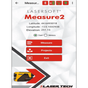
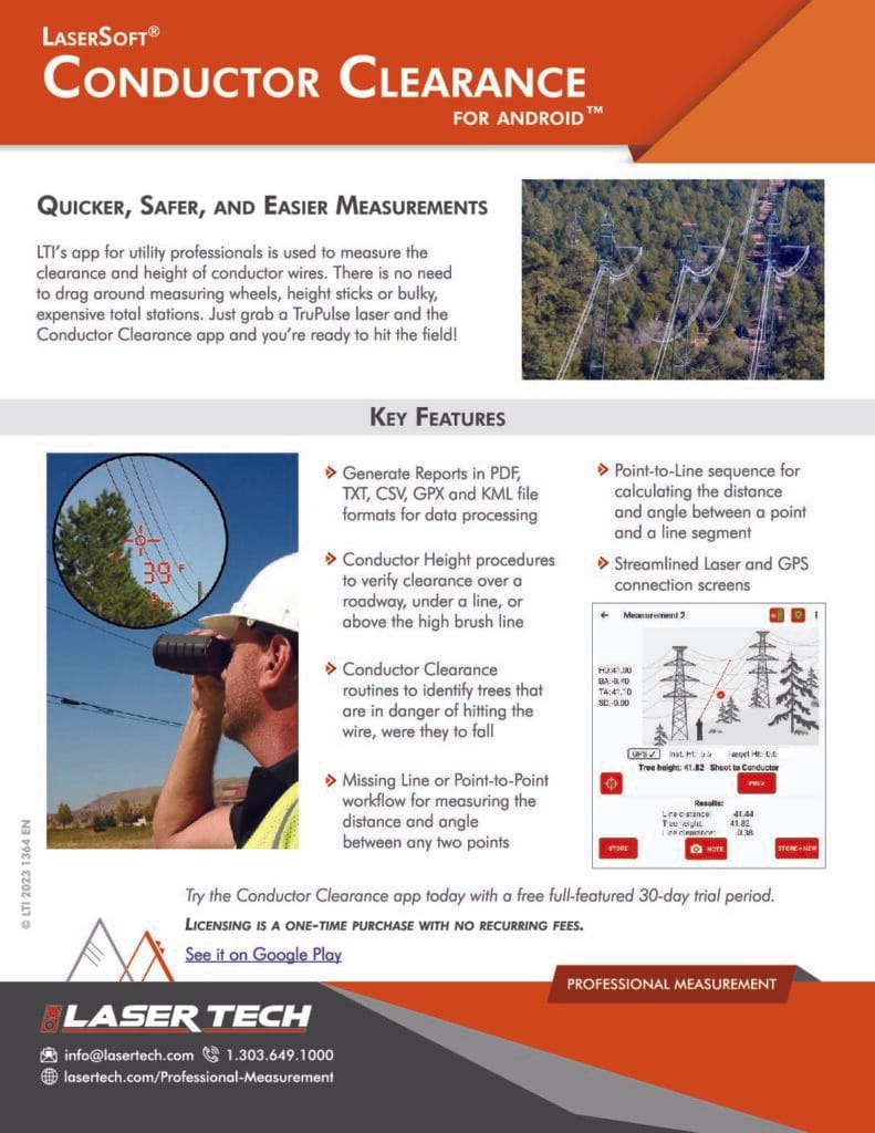
Flexible on-board calculations give you the freedom to collect and record data on the go. Choose one of our LaserSoft® data collection apps, or use one of many offset ready apps on the market to simplify your record-keeping on the job sit

Wired
With the increasing need for a variety of services, installing new lines on an existing pole requires good planning. You need valid field data in order to make the best decisions for applications such as strand mapping and network design. Measure and verify position, height, clearance all with a simple point, shoot and push of the button. You can also easily integrate your existing GPS and data collection software with Laser Tech’s TruPulse laser rangefinder. Record span, sag, and clearances to adjacent poles electronically and streamline your process.
Wireless
Knowing all the existing infrastructures of an area is easier said than done. Some GIS databases or maps may be available, but they may not be up-to-date or have the critical information that you need to make a logical decision as to where you are going to start your network design.
Use LTI’s TruPulse laser rangefinders to:
- Verify antenna and tower height
- Determine direction, distance, and elevation change between an obstruction and your proposed tower placement


Small Cell / 5G
Expansion of fiber optic networks and small cell infrastructures require Providers, Utility companies and contractors to constantly assess sites for deployment. These inspections must be performed quickly, safely, and as accurately as possible to minimize any missteps that could delay operations. Working with many challenges, requirements, NESC regulations, and Right-of-Way and height guidelines for mounting and placement, accurate measurements are required to verify there is enough space for assets.
The TruPulse laser rangefinder can be used to:
- Take measurements on poles that are identified for a wireless small cell replacement
- Measure the height of the highest point of the telecom site for FAA requirements
- Identify the location where to install the small cell to meet regional guidelines
Whatever the telecom task, our powerful TruPulse® laser rangefinder series allow a single operator to easily obtain distance, height and azimuth measurements under a variety of demanding conditions.
Having the right tools in your toolbox can make all the difference on the jobsite. We work with you to find the rangefinder or solution that meets your needs. Use this form to tell us what you’re looking for. Still not sure? Ask about our free demo program, and add some hands-on experience with our solutions to ensure a great working relationship.


