Product Category
- Accessories1212 products
- Professional Measurement Accessories88 products
- Traffic Safety Accessories44 products
- Software Solutions99 products
- Professional Measurement Tools44 products
- GIS/GPS Mapping11 product
- Telecommunication11 product
- Utilities22 products
- Laser Rangefinder44 products
- Forestry11 product
- Mining and Construction22 products
- Traffic Management55 products
Measure More. Move Less.
Reflectorless laser technology is used for measuring a distance, height or elevation value to verifying an azimuth direction or remote offset position with GPS/GNSS. Laser Tech’s (LTI’s) products can help you with field data collection. Our professional laser rangefinders are ideal for forestry, natural resource management, general construction, utilities, mining, and telecommunication applications. GIS mapping is a large part of all these disciplines and our lasers save you time and resources in your field data collection workflow.

Forestry
Foresters, timber cruisers, and mill operations managers all benefit from incorporating our laser rangefinders and data collection app solutions into their workflow.

GIS/GPS Mapping
Manage environmental information, measure and locate assets, and conduct research on the go.

Mining & Construction
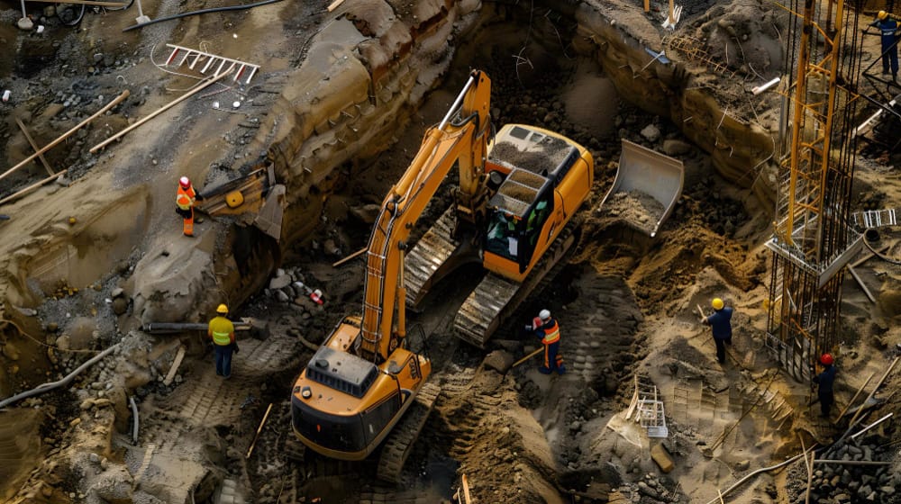
Grading, site prep and excavating measurements, such as determining a site's area or verifying the percent grade of a slope are gathered with the simple push of a button.

Telecommunication
TruPulse laser rangefinders acquire measurements to small targets extremely quickly and safely without needing to place a reflector at the target.

Utilities
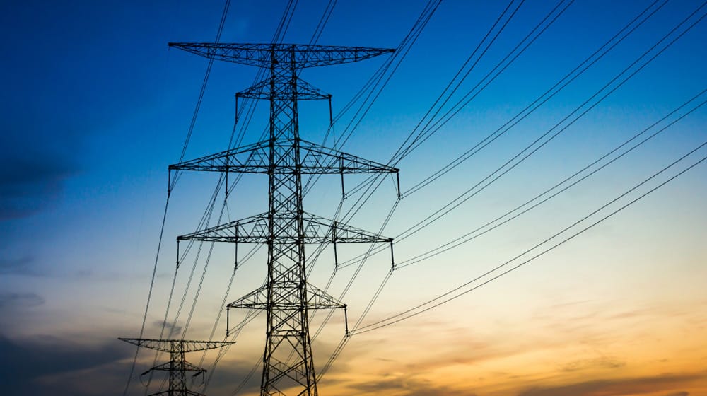
Measurement solutions to collect reliable field spatial data for all types of utility disciplines including electric, gas, water, pipeline.
