Description
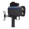
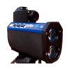
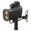
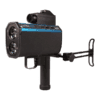
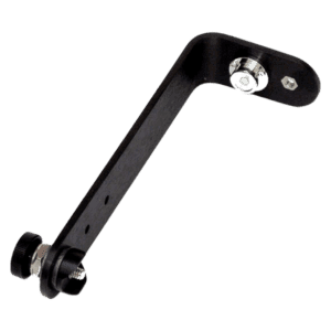
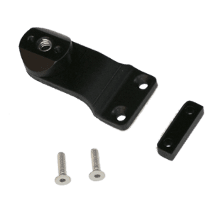
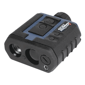
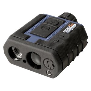
The UltraLyte 100 LR model offers an extended range and includes a tilt sensor, giving the laser the ability to measure horizontal distances and height values for crash scene mapping. Add this to a MapStar TruAngle device and you can easily map data points in 3D— all from a single location. This system integrates with LTI’s QuickMap® 3D field software, providing a complete solution for mapping any size crash scene. Easily download your field data into any reconstruction software for courtroom-ready diagrams.


