Description
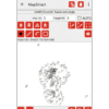
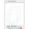
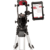
Use MapSmart on your Android™ device or Apple iPad and collect reliable, professional field data, and calculate stockpile volumes all with the ease of using a smartphone app. Specifically designed for simple operation, the intuitive interface harnesses the power of sophisticated mathematics and technology working in the background.
Choose to include GPS/GNSS position data in your survey and capture the origin and reference coordinates. Using the offset positioning measurements, data is output in latitude, longitude and altitude. Optionally, map using GPS/GNSS only and seamlessly move between both modes of mapping in one project.
Try the MapSmart app today with a full-featured 30-day free trial period. Licensing is a one-time purchase with no recurring fees.
MapSmart on the Apple App Store
Android™ is a trademark of Google LLC
MapSmart for iPadOS offers full functionality with TruPulse 200x rangefinders and MapStar TruAngle angle encoders


