One-Time Purchase - Lifetime Support
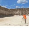
One Person Operation
Save time and resources with a system that can be operated safely by just one person.
Touch Screen Activiation
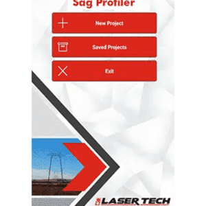
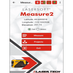
Face Profiler software is easy to navigate with intuitive icons and simple taps on the screen.
X, Y, Z Coordinates
Using a TruPulse 360° /R with a built-in compass or a MapStar® TruAngle® establishes coordinates for your measurement origin.
Capture Laser Measurements in seconds
Create & Review Multiple Profiles
Check Calculations & Make Adjustments in the field
- Remove slough at toe and overburden at crest from burden calculations
- Calculate burdens by entering the hole offset or by shooting in the hole location
- Determine drill hole placement and angle for a specified minimum or optimum burden
- Reshoot the crest and toe shots at any time to adjust bench height
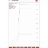
View Real-time 2D Graphical Profile with an Interactive Screen
- Tap anywhere in the profile to View depth and burden details
- Delete shots, edit the profile, and measure to seams in the face
- Take a photo to enhance your profile data
- Accommodate for bench corners by shooting in multiple profiles per borehole
Create Reports in minutes and an optional desktop program
- Calculate, adjust, and print reports in the field or with a larger view on your desktop
- Print multiple profiles per page, print a detailed list of all your profiles in a single job or print to PDF
- Review and edit depth and burden data or shot coordinates at any time
Accompanying hardware is accurate, lightweight and easy to set up
Obtain highly accurate results in less time than any alternative measurement system on the market. The TruPulse® 200X and TruPulse® 360° R laser rangefinders are extremely durable, rugged, and waterproof.
- One-time Purchase - Lifetime Support
- Generate reports in PDF, TXT, CSV, GPX, and KML formats for data processing
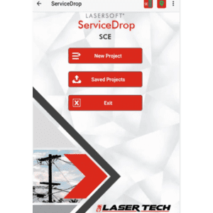
- Conductor Height procedures to verify clearance over a roadway, under a line, or above the high brush line
- Missing Line or Point-to-Point workflow for measuring the distance and angle between any two points
- Point-to-Line sequence for calculating the distance and angle between a point and a line segment
- Streamlined Laser and GPS connection screens


